If you own land in Karnataka, you have probably heard the term Mojini V3 while dealing with surveys, land sketches, applications, or property records. For many people, land-related work can feel unnecessarily complicated. There are survey numbers to remember, different types of sketches to understand, applications to track, and government offices to contact. Mojini V3 is designed to make a large part of this process easier by bringing several land survey-related services into a digital environment.
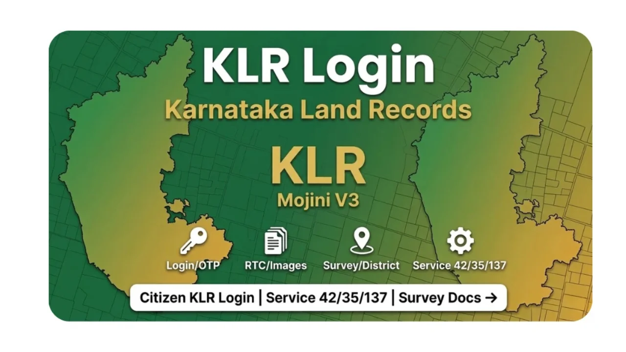
Mojini V3 is associated with Karnataka’s land administration system and the Department of Survey, Settlement and Land Records. The platform is intended to help citizens access information and follow the progress of applications without depending entirely on repeated visits to government offices. Services commonly associated with the platform include application-status tracking, survey sketches, revenue maps, and other survey-related information.
At the same time, it is important to understand what Mojini V3 is and what it is not. Several independent websites publish guides about the platform, but those websites are not themselves the official government portal. For important property decisions, users should verify information through Karnataka’s official government services and relevant revenue authorities.
What Is Mojini V3?
Mojini V3 is a digital platform connected with Karnataka’s land survey and land-record administration. Its purpose is to make certain land-related services and information easier to access electronically. Instead of treating every request as a completely offline process, the system allows users to interact with information and application workflows online.
The platform is particularly useful for people dealing with land surveys, subdivision-related matters, sketches, and application tracking. Depending on the service and record available, users may be able to check information using details such as district, taluk, village, survey number, or application number. This can be especially helpful when someone needs to understand where a particular application stands.
The bigger idea behind Mojini V3 is straightforward: land administration involves a huge amount of information, and putting that information into a structured digital system can make it easier to manage. Earlier, a person might have needed to visit an office simply to ask about the progress of a request. Digital tracking can reduce some of that unnecessary back-and-forth and give users a clearer picture of their application.
Why Mojini V3 Matters for Landowners
Land is different from many other types of property because boundaries, survey numbers, ownership records, measurements, and government records all need to line up properly. A small misunderstanding about a boundary can become a serious problem when land is sold, divided among family members, developed, or used as security for a financial transaction.
This is where digital survey information becomes useful. Mojini V3 provides access to services and information connected with land surveys and sketches, helping users understand records without relying solely on handwritten notes or informal explanations. Sources describing the platform specifically mention features such as application tracking, 11E sketches, phodi sketches, alienation sketches, village maps, and related reports.
There is also a practical advantage for people who live far from a taluk or revenue office. Being able to check basic information online can save both time and travel. It does not eliminate the need for government officials or physical verification in every situation, but it can make the initial information-gathering stage much more convenient.
Understanding the Main Services Available Through Mojini V3
One of the most useful functions associated with Mojini V3 is application-status tracking. If you have submitted a land survey-related application, knowing its current stage can help you decide whether you simply need to wait or whether further action may be necessary. Application tracking is therefore more than a convenience; it can help prevent people from repeatedly visiting offices without knowing whether their application has actually progressed.
Another important area is the availability of land sketches. Different sketches serve different purposes, so users should not assume that every sketch represents exactly the same information. The 11E sketch, phodi sketch, and alienation sketch can relate to different land situations and administrative processes. Understanding the document you are viewing is just as important as being able to download or display it.
Mojini V3 is also associated with revenue maps, dispute-related information, and management reports. These resources can be useful when someone is trying to understand the broader context of a parcel of land. However, online information should be treated as an important reference rather than automatically assuming that it replaces every official document, legal verification, or physical survey.
How Application Status Tracking Can Help
Waiting for a land-related application can be frustrating, especially when the application is connected to a property sale, family partition, loan, construction project, or another deadline. Online status tracking gives applicants a way to check progress without immediately returning to the office where the request was submitted.
Typically, the key information needed for tracking is the relevant application number or other identifying details requested by the portal. Users should enter these details carefully because a simple typing error can prevent the system from finding the correct record. Keeping a copy or photograph of the original application receipt can therefore be a very practical habit.
If an application appears to remain unchanged for an unusually long period, the online status can provide a starting point for further investigation. Instead of approaching an office with only a general question such as “What happened to my application?”, the applicant can provide the application details and the status displayed online. That can make communication more focused and efficient.
What Is an 11E Sketch in the Mojini V3 System?
The term “11E sketch” can sound confusing if you are unfamiliar with Karnataka’s land administration terminology. In simple terms, it is a type of land sketch used in specific survey and land-related processes. It provides a visual representation of land boundaries and related survey information, making it easier to understand the physical arrangement of a parcel.
For a landowner, the importance of a sketch is often practical. Written descriptions can tell you a survey number and measurements, but a visual sketch can make the relationship between boundaries and neighboring parcels easier to understand. This becomes particularly useful when people are discussing subdivisions, transactions, access routes, or boundary questions.
However, an online sketch should not be treated casually when a major legal or financial decision is involved. If the information appears inconsistent with the actual property or other official documents, the discrepancy should be investigated through the appropriate revenue or survey authorities. Online access makes information easier to obtain, but it does not remove the importance of proper verification.
Mojini V3 and Land Survey Applications
Land surveys are often necessary when boundaries need to be established, clarified, divided, or updated. Mojini V3 helps bring parts of the survey-request process into a digital workflow, allowing applicants to follow information connected with their requests.
This can be particularly useful for landowners who are dealing with phodi or related survey matters. A person may have submitted a request weeks earlier and simply want to know whether it has moved forward. Instead of relying entirely on verbal updates, the digital system can provide a more structured way to follow the application.
The important thing is to keep realistic expectations. A digital portal can display and manage information, but it cannot automatically resolve a disputed boundary, replace a required field survey, or make a complicated ownership dispute disappear. Some matters still require physical inspection, supporting documents, official orders, or assistance from the relevant authorities.
Benefits of Using Mojini V3
One of the clearest benefits of Mojini V3 is convenience. Land-related information is often needed at inconvenient moments, and having online access can reduce unnecessary travel. Someone researching a property or following an application can begin by checking available information from a computer or smartphone.
Another benefit is transparency. When application information can be tracked digitally, users have a better opportunity to understand what is happening with their request. Digital records can also reduce dependence on informal communication, although users should still preserve receipts, documents, and official correspondence related to their applications.
There is also a broader administrative benefit. Moving land survey workflows into digital systems can help organize large amounts of information and make it easier for government departments to manage applications. Sources describing Mojini V3 highlight goals such as improving efficiency, reducing manual work, and making land-related services more accessible.
Common Problems Users May Face
Like any online government-related platform, Mojini V3 may not always feel perfectly straightforward. Users can encounter problems locating a village, entering the correct survey information, finding an application, or understanding unfamiliar terminology. These difficulties are especially common for first-time users who are not accustomed to land-record systems.
Another issue is that online records may not always answer the exact question a user has. A person might find a sketch but still need clarification about a boundary. Someone might see an application status but not understand what the next stage means. In such cases, repeatedly refreshing the page is unlikely to solve the underlying issue.
Technical problems can also occur. Internet connectivity, browser issues, temporary portal downtime, incorrect information, or incomplete digitization can interfere with the experience. If a record cannot be found online, that does not automatically prove that the land does not exist or that an application was never submitted. Users should investigate the issue through official channels rather than making assumptions.
Why You Should Verify Land Information Carefully
Mojini V3 can be a useful starting point, but land transactions require a wider approach. If you are purchasing property, for example, checking one online sketch is not enough to establish that the property is legally safe to buy. Ownership documents, registration records, encumbrances, survey information, tax records, and other relevant documents may also need examination.
This is particularly important when online information appears different from physical boundaries. A fence, wall, road, or neighboring structure does not automatically determine the legally recognized boundary. Conversely, an online map should not be interpreted without understanding the survey context behind it.
For significant property transactions or disputes, professional and official verification remains important. Independent informational websites themselves commonly warn that they are not government portals and that users should verify critical information with official sources.
Tips for Using Mojini V3 More Effectively
Before checking your information, keep important details nearby. Your application number, survey number, district, taluk, hobli, and village information can make the process much easier. Having these details written down reduces the chance of entering incorrect information repeatedly.
It is also sensible to save copies of important documents and screenshots when appropriate. If you are following an application over several weeks, keeping a simple personal record of dates and status changes can help you recognize whether something has changed. This is especially useful when the application is connected to another time-sensitive property matter.
Finally, do not rely on random websites claiming to provide “official” Mojini services. Many independent sites publish useful explanations, but some explicitly state that they are not affiliated with the Karnataka government. For official services, users should use the government’s own portal and confirm important information with the relevant department.
The Future of Digital Land Services in Karnataka
The development of platforms such as Mojini V3 reflects a larger shift toward digital government services. Land administration is particularly suited to digitization because it involves enormous quantities of structured information, maps, applications, documents, and historical records.
The real value of digital systems is not simply putting an old form online. A well-designed platform can connect different stages of a process, improve tracking, reduce repetitive paperwork, and make information easier for citizens to access. That can make a meaningful difference for farmers, landowners, survey professionals, property buyers, and government staff.
At the same time, technology works best when the underlying records are accurate and the digital service remains accessible. Continued improvements in usability, data quality, system reliability, and public awareness will determine how useful platforms like Mojini V3 become over the long term.
Final Thoughts on Mojini V3
Mojini V3 represents an important step toward making Karnataka’s land survey and related administrative services more accessible online. Its value comes from practical functions such as application tracking, access to survey sketches, revenue-map information, and other land-related resources. For someone who regularly deals with property matters, having these tools available digitally can save considerable time.
Still, the smartest way to use Mojini V3 is as part of a broader verification process. Online records are extremely useful for checking information and following applications, but complicated property matters may require official documents, physical surveys, departmental assistance, or professional advice.
Ultimately, Mojini V3 is most useful when users understand both its capabilities and its limitations. Instead of treating the platform as a replacement for every traditional land service, think of it as a digital gateway that can make many parts of Karnataka’s land administration process easier to understand, track, and access.
You May Also Read: Wordmaticz